
Construction Aerial Documentation
Track your project from above. Weekly, monthly, or milestone-based aerial documentation for construction sites.
Why Aerial Construction Documentation?
Construction documentation from the air provides a unique perspective that ground-level photos simply cannot match. Aerial documentation offers clear, comprehensive progress tracking that's invaluable for multiple stakeholders and purposes:
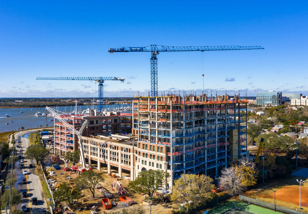
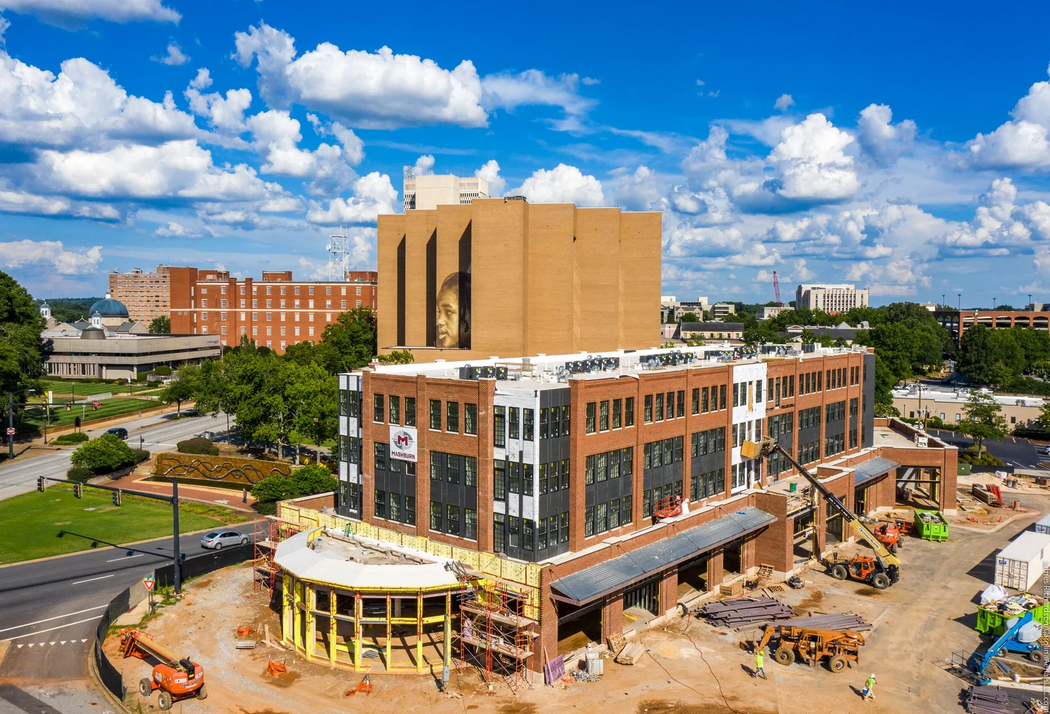
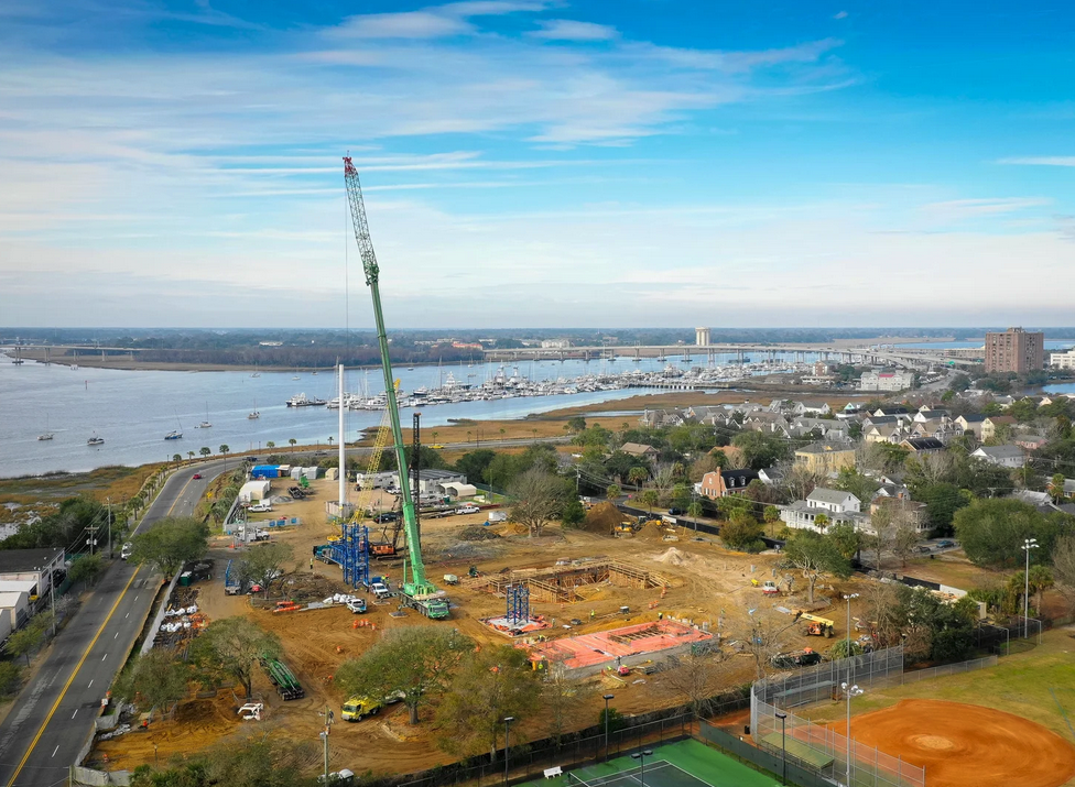
Progress Tracking — Monitor site development, foundation work, framing, and completion stages with consistent, high-level perspectives that show overall project advancement at a glance.
Stakeholder Updates — Communicate project status to investors, lenders, and partners with professional aerial imagery that demonstrates tangible progress.
Dispute Resolution — Create an objective photographic record of work completed and site conditions as protection against disputes or claims.
Lender Requirements — Many lenders and insurers require progress documentation. Aerial photos provide the comprehensive coverage they need to verify project advancement and site management.

Our Documentation Services
Progress Photography
Regular scheduled aerial photos documenting each phase of construction from site prep through completion.
Site Surveys
Comprehensive aerial surveys showing site boundaries, equipment placement, material staging, and safety considerations.
As-Built Documentation
Final aerial documentation of completed work with finished landscaping, hardscaping, and overall site appearance.
Stakeholder Reports
Professional compiled reports with images and descriptions suitable for investor and lender distributions.
Before/After Comparisons
Side-by-side aerial imagery showing site transformation from initial conditions through project completion.
Who Uses This
Construction aerial documentation serves multiple professionals throughout the building process:
- General Contractors — Track project progress, manage multiple job sites, and demonstrate work completion to project owners and lenders.
- Developers — Document large-scale development projects from ground-breaking through occupancy for stakeholder communication.
- Project Managers — Maintain comprehensive progress records and identify site issues early with aerial perspective.
- Lenders — Verify project advancement and collateral condition for financing and loan administration purposes.
- Insurance Companies — Document site conditions and work progress for coverage evaluation and claims assessment.
Also Consider
Aerial Photography
One-time aerial shoots for project marketing and stakeholder updates.
Learn more →Commercial Photography
Ground and aerial photography for completed commercial developments.
Learn more →Aerial Inspections
Drone-based inspections for roofing, structural review, and site assessment.
Learn more →Document Your Progress from Above
Professional aerial documentation that serves your entire project team and satisfies stakeholder and lender requirements.